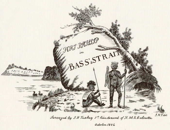
Detail from map by James Tuckey 1804
Title: Port Phillip in Bass’s Strait [cartographic material] / surveyed by J. H. Tuckey.
Author/Creator: J. H. Tuckey (James Hingston), 1776-1816.
Notes: “October 1804”
Link to full map record HERE

Detail from map by James Tuckey 1804
Title: Port Phillip in Bass’s Strait [cartographic material] / surveyed by J. H. Tuckey.
Author/Creator: J. H. Tuckey (James Hingston), 1776-1816.
Notes: “October 1804”
Link to full map record HERE
